Tropical Storm Chantal Makes Landfall, Now Tracking North With Strong Winds, Torrential Rain
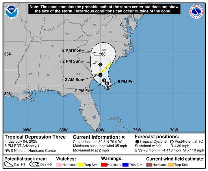
A tropical storm Just before dawn on Sunday, July 6, Chantal made landfall close to Litchfield Beach, South Carolina, bringing with it storm surge, heavy rain, and powerful winds to portions of the state’s coastline.
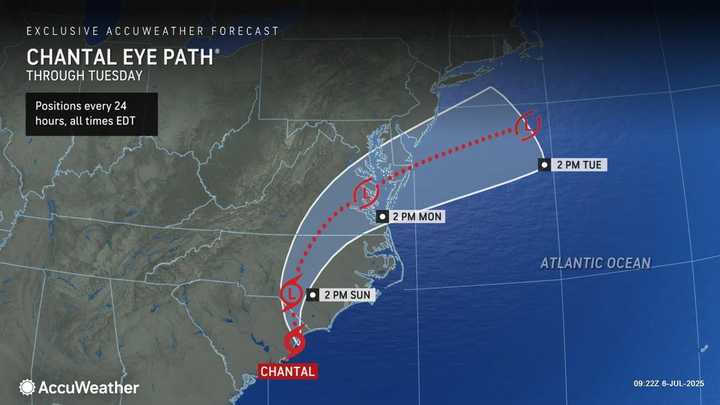
An overview of Chantal’s anticipated course through Tuesday, July 8.
An overview of Chantal’s effects through Tuesday, January 8, includes rainstorms and isolated tornadoes.
Tropical storm conditions are expected to last through Sunday morning in the warning region, according to the National Hurricane Center. By Monday, July 7, there will be significant rainfall throughout the day across South Carolina and into North Carolina.
Near the storm center, forecasters issued warnings of flash flooding and localized rainfall totals of up to 10 inches.
Chantal will continue to be dangerous into early this week as it advances inland across the Carolinas and toward southeastern Virginia and southern Delaware, even if its wind power is predicted to rapidly decrease.
Along portions of the Southeast and mid-Atlantic beaches, the storm has also caused dangerous surf, rip currents, and coastal erosion. It is anticipated that these circumstances will persist until Monday.
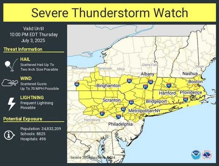
Parts of eastern North Carolina and eastern South Carolina were still at risk of isolated tornadoes, according to AccuWeather meteorologists.
Through early week, there will probably be travel delays and marine disturbances. Authorities advised vigilance in regions vulnerable to flooding and along the coast.
For updates, return to Daily Voice.