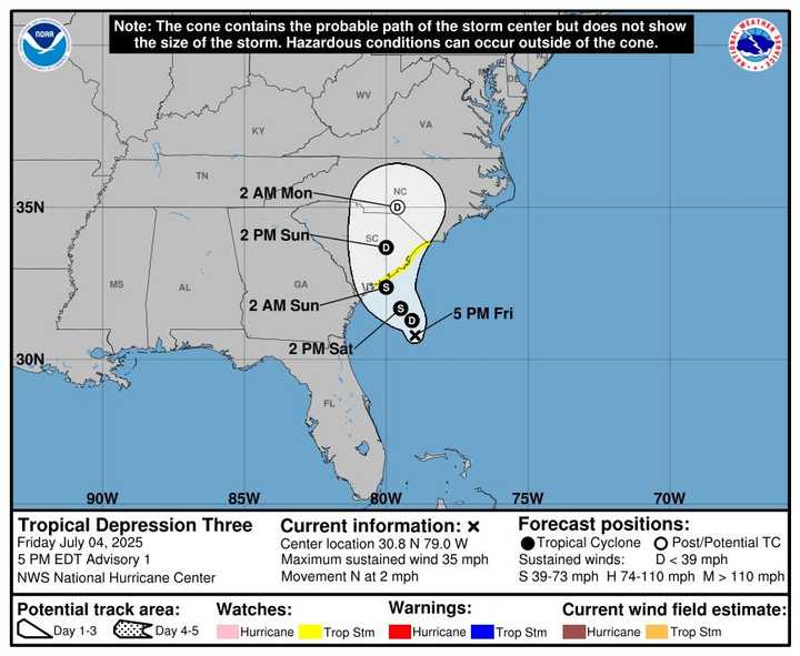
Tropical Chantal Brings Heavy Rain, Stifling Heat To Bergen County: Here’s Timing
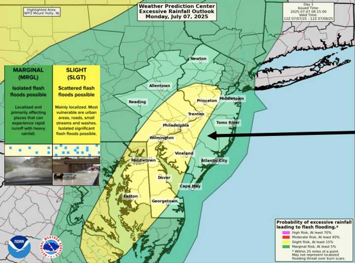
As Tropical Cyclone Chantal’s remnants move over the region this week, New Jersey is prepared for many rounds of hazardous weather, the National Weather Service (NWS) warned on Monday, July 7.
locations that are vulnerable to flash flooding.
Much of the state is under a Flood Watch Monday from 10 a.m. to 10 p.m. According to forecasters, certain regions, particularly in central and southern New Jersey, may receive 2 to 5 inches of locally heavy rain from sporadic storms.
Storms have already begun to form around the area, according to NWS Mount Holly at 3 p.m.
According to the NWS Mount Holly office, scattered showers and thunderstorms that are expected to develop today have the potential to produce locally significant rainfall, which could result in flash floods. The Slight Risk area is where flash floods is most likely to occur.
However, there are other dangers than the rain.
At 1:50 p.m. on Monday, the NWS New York office issued a Hazardous Weather Outlook for northeast New Jersey, indicating that showers and thunderstorms might result in heavy rainfall throughout the early hours of this evening. Flash flooding may occur in certain localized locations. This encompasses the counties of Hudson, Union, Essex, eastern Passaic, and eastern Bergen.
Forecasters predicted more storms on Tuesday and Wednesday afternoons, each carrying the potential for catastrophic wind gusts and flooding.
Additionally, a Heat Advisory is in effect for a large portion of New Jersey from 10 a.m. to 8 p.m. on Tuesday. Depending on the location, heat index readings could reach 100 to 106 degrees.
The NWS New York notice states that the counties of Essex, Hudson, Union, eastern Bergen, and eastern Passaic are under a Heat Advisory. The government cautioned that high humidity and hot temperatures can lead to heat-related ailments.
With heat index readings potentially exceeding 106 degrees, the NWS Mount Holly office in South Jersey issued a secondary Heat Advisory for Atlantic, Cape May, Cumberland, and Salem counties. The advisory was also in force Tuesday from 10 a.m. to 8 p.m.
Additionally, through Tuesday, the NWS warned of a moderate to high risk of rip currents along the Jersey Shore.
By Monday at 5 p.m., another new briefing is anticipated.